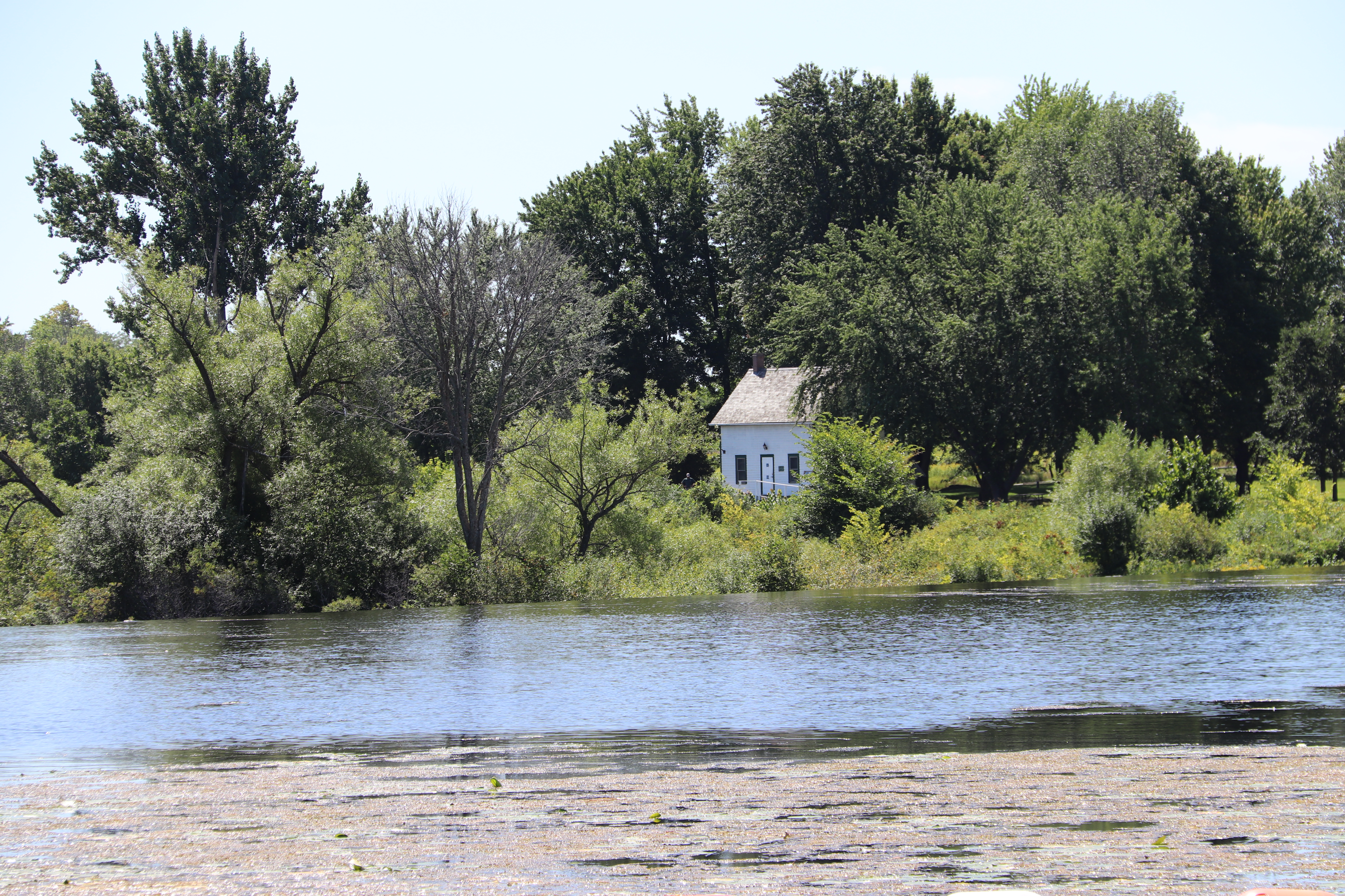
The Edmonds lockstation occupies the Rideau Canal system south of Smiths Falls, Ontario. It lies to the east of County Road 17 with access on Edmonds Locks Lane.
Lock 25 at the Edmonds lockstation, identified on the Fisheries and Oceans Canada charts as Edmunds, provides a lift of 2.8m ( 9 ft).
Parks Canada
Rideau Canal
National Historic Site of Canada
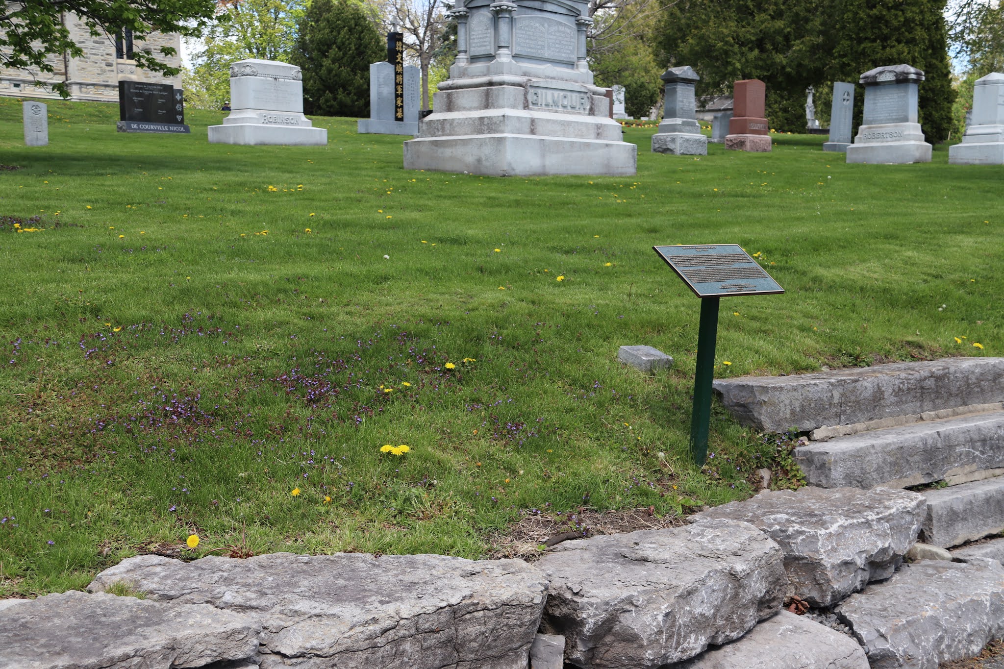
Edmonds Lock
Parcs Canada
Canal-Rideau
Lieu historique national du Canada
Écluse d'Edmonds


EDMONDS
These canal structures provide an excellent illustration of the engineering principles which Colonel John By used to create a navigable waterway from and untamed river set deep in the wilderness. In order to minimize the amount ot excavation necessary, Colonel By utilized existing lakes and rivers wherever possible to form a series of connected levels of water. The Rideau is in fact a long staircase – from Ottawa a vessel goes up the steps to the top, or summit level, at Newboro (nearly 48 km (30 miles) from here) and then descends the staircase to Kingston and Lace Ontario. Dams maintain the water level on each step and vessels are raised or lowered to the new level by locks. Here at Edmonds the dam is called an overflow dam because the water flows over the top of the dam and forms an attractive waterfall. This design was intended originally for all the dams on the canal but it had to be abandoned at many stations when Colonel By discovered during construction that the soft foundation stone at the foot of the dams would be eroded by the force of the falling water.
Between 1826 and 1832, an old Indian canoe route along the Rideau and Cataraqui Rivers was transformed at the command of the British government from untamed wilderness rivers into the Rideau Canal. The purpose of this remarkable artery was to provide the British army with a safe route for supplying its inland garrisons, avoiding the direct but exposed route along the St. Lawrence, which only the disorganization of the American forces had prevented from being cut during the War of 1812.
The 202 km (126 miles) of waterway was made navigable by 47 locks grouped in 24 stations with their associated dams and weirs. The word was designed and superintended by the Royal Engineers, commanded by Lieutenant Colonel John By; the actual construction was done by local contractors.
Despite the blockhouses along the waterway, the role of the Rideau has always been peaceful. It was a busy waterway, carrying settlers and supplies into the growing settlement of the interior intul the middle of the 19th century, when larger locks were opened on the St. Lawrence. At the same time, since the possibility of war between Britain and the United States was now unlikely, the British Board of Ordnance signed the system over to the colonial government of Canada in 1856. The period of the Canal's military administration was over.
Local commercial traffic remained important until the advent of the automobile and better roads about the time of World War 1. Since that time recreational boating has grown steadily so that now the system, well into its second century, is busier than ever.

EDMONDS
Les structures du canal constituent ici un exemple parfait de la technique utilisée par le colonel John By pour établir un réseau de voies navigables, à partir d'une rivière sauvage qui coulait dans une nature tout aussi inhospitalière. Afin de réduire le coût des travauz d'excavation, le colonel By unilisa autant que possible les riviéres et les lacs existants afin de former une voie d'eau de niveau égal. Le canal Rideau est en fait un grand escalier. D'Ottawa, une embarcation en gravit graduellement tous les degrés et atteint le niveau le plus élevé à Newboro, à environ 48 km (30 milles). De là, le niveau de l'eau descend jusqu'à Kingston, sur le lac Ontario. Les barrages maintiennent le niveau d'eau à chaque palier. Les embarcations sont élevées ou abaissés par les écluses afin d'atteindre l'autre niveau. Ici, à Edmonds, le barrage est un barrage-dérsoir puisqu l'eau s'écoule par-dessus la structure et forme une chute agréable à voir. On comptait adopter ce plan pour tous les barrages du canal, mais il dut être abandonné à plusieurs endroits lorsque le colonel By découvrit au cours de la construction que les pierres friables au pied de chutes seraient vite érodées par la force de l'eau.
Entre 1826 et 1832, une ancienne voie d'eau utilisée par les Indiens le long des rivières Rideau et Cataraqui fut transformée à la demande du gouvernement britannique en un réseau de voies navagables : le canal Rideau. Le but de cet ouvrage remarquable était de fournir à l'armée britannique une route sûre pour approvisionner ses garnisons. On évitait ainsi le Saint-Laurent, voie plus directe mais oussi plus dangereuse qui n'était demeurée ouverte qu'en raison de la désorganisation de l'armée américaine au cours de la guerre de 1812.
Le réseau de 202 km (126 milles) a été rendu navigable par la construction de 47 écluses regroupées en 24 postes. Les travaux ont été planifiés et surveillés par les Royal Engineers. Sous le commandement du lieutenant-colonel John By. Ils ont été exécutés par des entrepreneurs locaux.
Malgré les blockhaus qui se trouvent le long du réseau, le Rideau n'a jamais été troublé par la guerre. Ce fut un cours d'eau achalandé transportant colons et approvisionnement à l'intérieur des terres jusq'au milieu de XIXe siècle lorsque les grandes écluses du Saint-Laurent furent ouvertes à la navigation. Au même moment, la menace de guerre entre la Grande-Bretagne et les États-Unis s'étant estompée, le British Board of Ordnance céda le réseau au gouvernement colonial du Canada en 1856. Ceal mit fin à l'administration militaire du canal.
Le trafic commercial local demeura important jusqu'à l'apparition de l'automobile et la construction de meilleurs routes à l'époque de la Première Guerre mondiale. Depuis, les plaisanciers se sont faits de plus en plus nombreux, tant et si bien qu le réseau, qui en est à son deuxième siècle d'existence, et maintenant plus fréquenté que jamais.