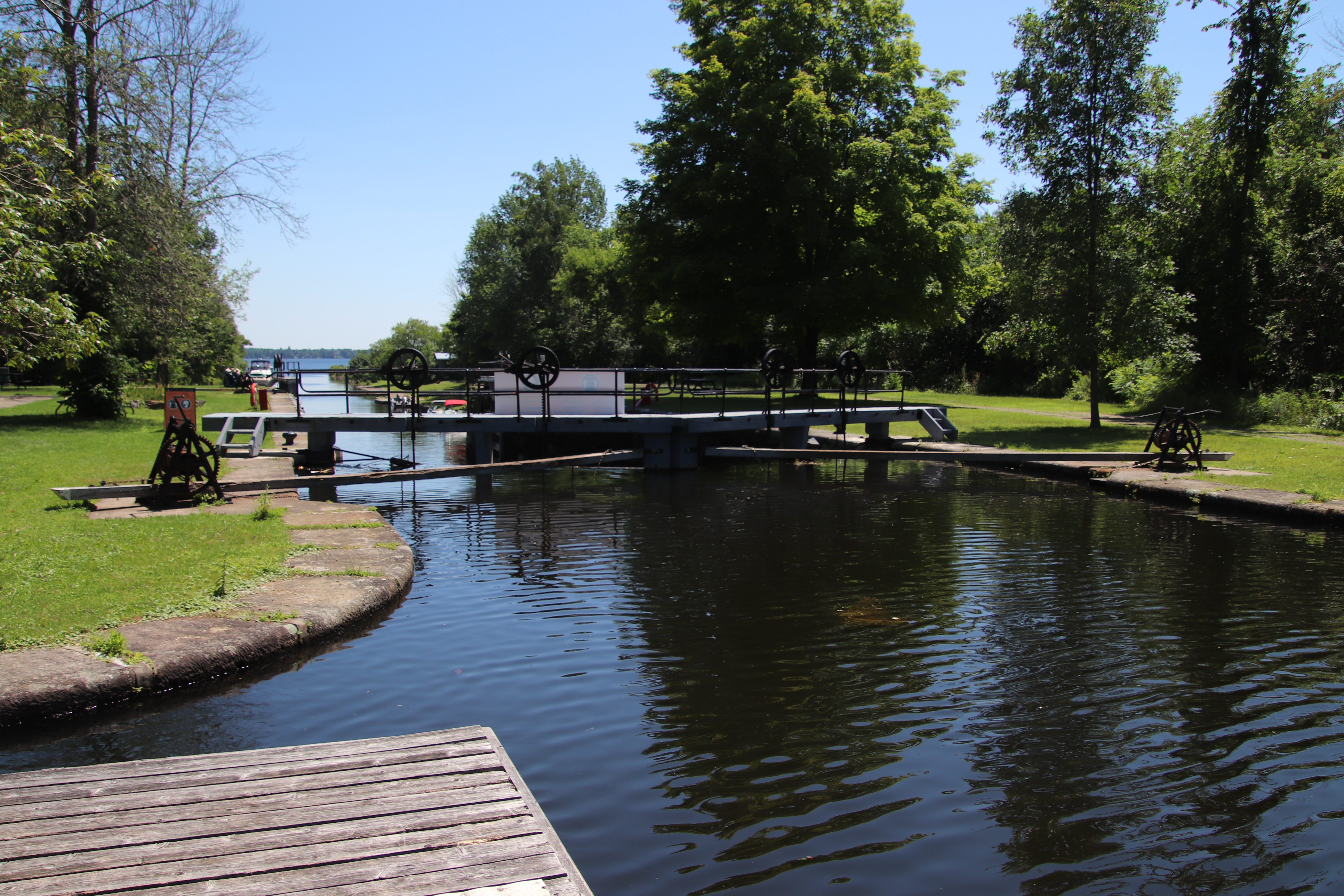
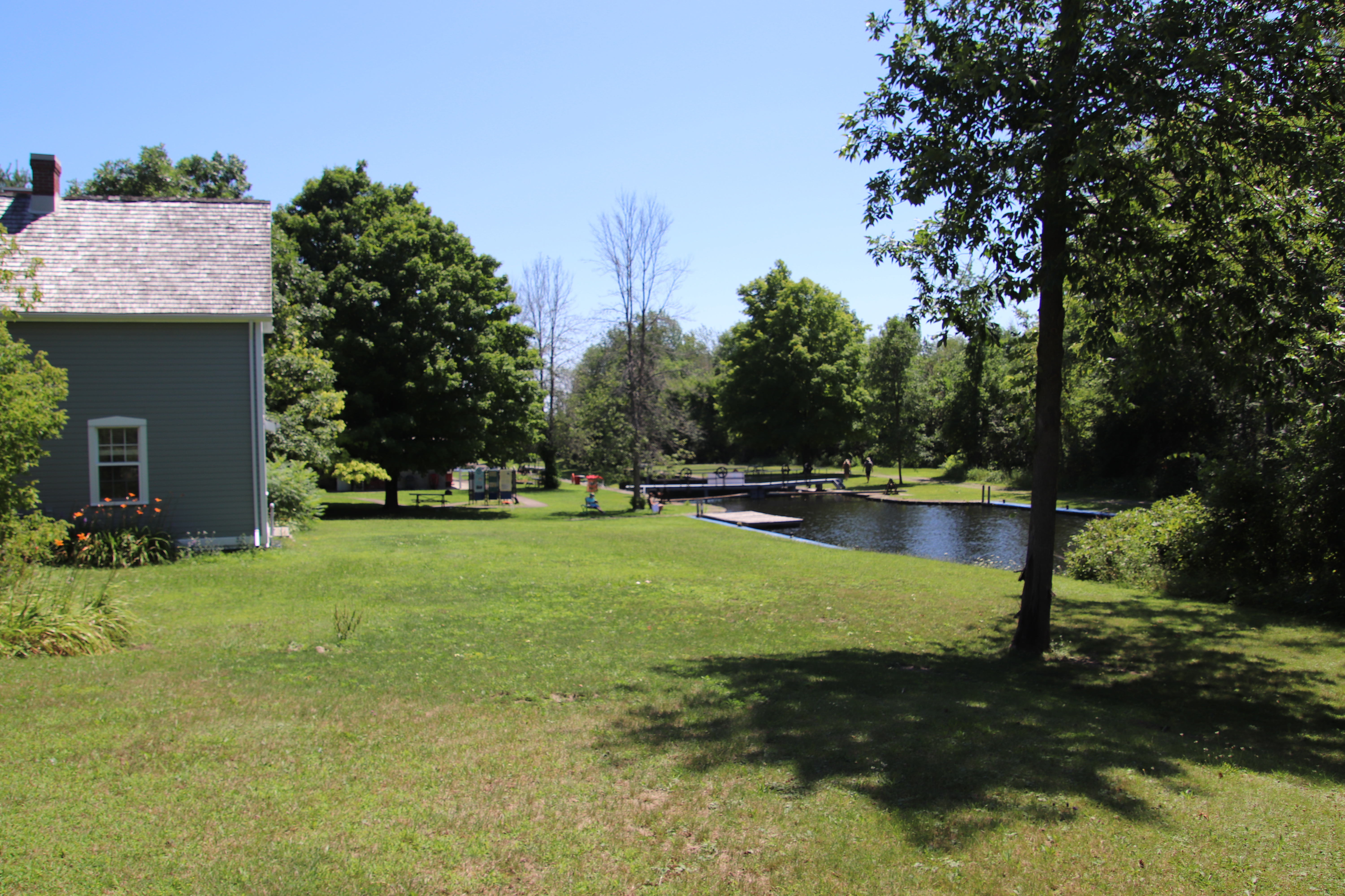
Lower Beveridges Lockstation occupies a location southeast of Port Elmsley Road about 2.5 km southwest of Port Elmsley, Ontario where Port Elmsley Road can be accessed from Lanark County Road 43.


Parks Canada
Rideau Canal
National Historic Site of Canada
Beveridges Locks

Parcs Canada
Canal-Rideau
Lieu historique national du Canada
Écluses de Beveridges


BEVERIDGES
While many branches of the Rideau Waterway were proposed, only the Tay branch was ever realized. This lock and its companion, a short walk up channel, (known as Beveridges Locks) ad the artificial cut (known as Haggart's Ditch) are much newer than the rest of the Rideau. They were built from 1884 to 1887 to connect the market town of Perth, 11 km (7 miles) to the west, with the main route.
These new works succeeded an early and short-lived private venture which canalized the Tay River between Port Elmsley, a few miles north, and Perth. The project was open in 1834, but the wooden locks soon fell into disrepair and by 1865 had been destroyed by spring floods. When the scheme was revived, the present more direct route from Beveridge Bay was chosen.
Between 1826 and 1832, an old Indian canoe route along the Rideau and Cataraqui Rivers was transformed at the command of the British government from untamed wilderness rivers into the Rideau Canal. The purpose of this remarkable artery was to provide the British army with a safe route for supplying its inland garrisons, avoiding the direct but exposed route along the St. Lawrence, which only the disorganization of the American forces had prevented from being cut during the War of 1812.
The 202 km (126 miles) of waterway was made navigable by 47 locks grouped in 24 stations with their associated dams and weirs. The word was designed and superintended by the Royal Engineers, commanded by Lieutenant Colonel John By; the actual construction was done by local contractors.
Despite the blockhouses along the waterway, the role of the Rideau has always been peaceful. It was a busy waterway, carrying settlers and supplies into the growing settlement of the interior until the middle of the 19th century, when larger locks were opened on the St. Lawrence. At the same time, since the possibility of war between Britain and the United States was now unlikely, the British Board of Ordnance signed the system over to the colonial government of Canada in 1856. The period of the Canal's military administration was over.
Local commercial traffic remained important until the advent of the automobile and better roads about the time of World War 1. Since that time recreational boating has grown steadily so that now the system, well into its second century, is busier than ever.

BEVERIDGES
De tous les embranchements projetés sur le reseau, seul le canal Tay a été réalisé. Cette écluse et l’autre, à deux pas en amont (écluses Beveridges), de même que le raccourci artificial (Haggart’s Ditch) sont beaucoup plus récents que les autres structures du canal Rideau. Ils ont été construits entre 1884 et 1887 pour relier au reseau principal la ville commerciale de Perth située à 11 km (7 milles) à l’ouest.
Ces travaux ont fait suite à une courte tentative financée par des fonds privés visant à canaliser la rivière Tay entre Port Elmsley, à quelques milles au nord, et Perth. Le projeet a été mis en chantier en 1834, mais les écluses de bois sont vite tombées en ruine; en 1865, les crues printannières les avaient complètement détruites. Lorsque le projet fut relance, on choisit l’actuelle route, plus directe, à partir de la baie Beveridge.
Entre 1826 et 1832, une ancienne voie d'eau utilisée par les Indiens le long des rivières Rideau et Cataraqui fut transformée à la demande du gouvernement britannique en un réseau de voies navagables : le canal Rideau. Le but de cet ouvrage remarquable était de fournir à l'armée britannique une route sûre pour approvisionner ses garnisons. On évitait ainsi le Saint-Laurent, voie plus directe mais oussi plus dangereuse qui n'était demeurée ouverte qu'en raison de la désorganisation de l'armée américaine au cours de la guerre de 1812.
Le réseau de 202 km (126 milles) a été rendu navigable par la construction de 47 écluses regroupées en 24 postes. Les travaux ont été planifiés et surveillés par les Royal Engineers. Sous le commandement du lieutenant-colonel John By. Ils ont été exécutés par des entrepreneurs locaux.
Malgré les blockhaus qui se trouvent le long du réseau, le Rideau n'a jamais été troublé par la guerre. Ce fut un cours d'eau achalandé transportant colons et approvisionnement à l'intérieur des terres jusq'au milieu de XIXe siècle lorsque les grandes écluses du Saint-Laurent furent ouvertes à la navigation. Au même moment, la menace de guerre entre la Grande-Bretagne et les États-Unis s'étant estompée, le British Board of Ordnance céda le réseau au gouvernement colonial du Canada en 1856. Ceal mit fin à l'administration militaire du canal.
Le trafic commercial local demeura important jusqu'à l'apparition de l'automobile et la construction de meilleurs routes à l'époque de la Première Guerre mondiale. Depuis, les plaisanciers se sont faits de plus en plus nombreux, tant et si bien qu le réseau, qui en est à son deuxième siècle d'existence, et maintenant plus fréquenté que jamais.


Lock 33 at the Lower Beveridges Lockstation has a lift of 3.6 metres (12 feet).