The Long Island lockstation, part of the Rideau Canal system, occupies a place on the east side of the Rideau River at Nocolls Island down river from Long Island and Manotic to the south. Nicolls Island Road to the west of River Road and north of Rideau Road provides land access to the lockstation.
The Long Island lockstation is the fifth one in the Rideau Canal system with locks 14, 15 and 16. For more information on this lockstation
click here.
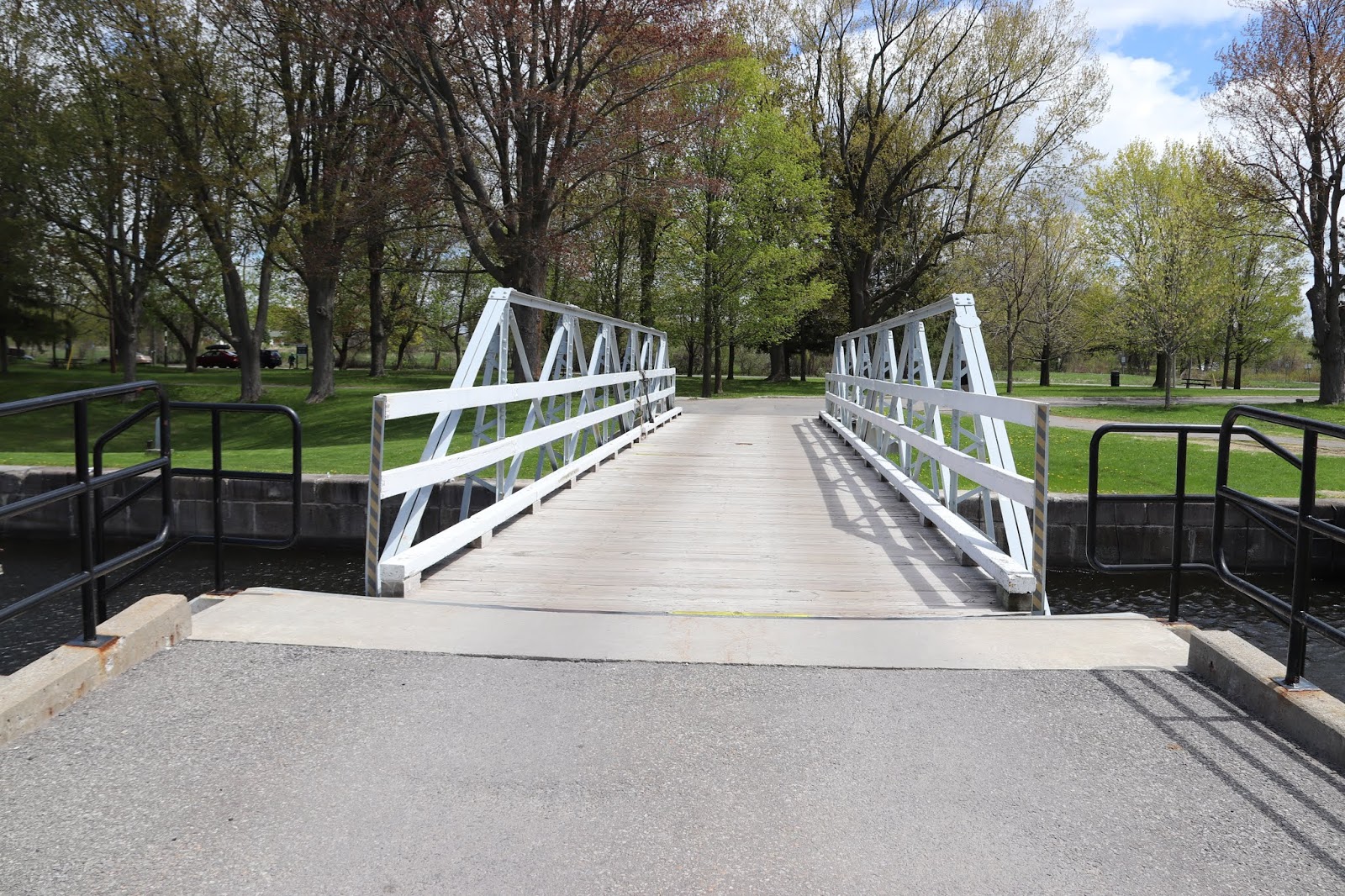
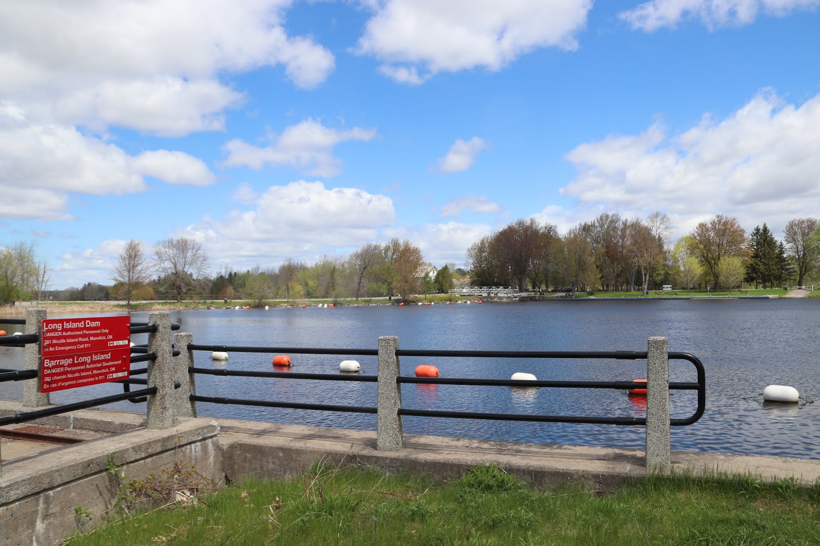
Before photographing the locks I crossed over the Long Island Swing Bridge and went to photograph the Long Island Dam situated south west of the locks. I the original planning what is now the dam is referred to as a weir, which is a water regulation dam. There is a cut stone dam, built to hold back the water turning a length of rapids into a calm navigable water way.
 |
The circular white metal part is the top of the axle on which
the swing bridge rotates so that boats can enter and go
through the locks. The Rideau Canal system necessarily
includes moveable bridges. Some are not in the vicinity of
a lockstation. |
I went back later in the season to photograph something I missed earlier and while there the crew swung the bridge out of the way to allow a boat into the lock and I took some pictures.
 |
The access prohibition applies to the
dam machinery inside the enclosed area. |
Proudly bringing you Canada at its best!
Tout ce que le Canada a de plus beau à offrir!
LONG ISLAND
The canal structures here provide excellent examples of the engineering skill of Colonol By and his fellow army officers. The nearest lockstation upstream is Burritts Rapids, 40 km (25 miles) away. This means that the dams here must be able to withstand sudden rises in water level during spring breakup. The main dam is built of massive stone blocks strengthened by tons of earth behind it. Water passing over the top, however, could cause severe erosion to hte soft foundation stone at the foot of the dam and indeed could undermine the entire structure. In order to prevent this flow, Colonel By designed a control mechanism known as a waste weir. Now situated at the north end of the stone retaining dam, the weir consists of an earth dam and large sluices through which surplus water can flow. Heavy wooden logs - often more than a foot square - are raised and lowered in grooves in the sides of the concrete piers to control the depth of water in the upstream channel. During the spring run-off, the logs are removed to allow quick drainage of water. In the summer, they are lowered to keep the water deep enough for vessels to pass through the locks.
Between 1826 and 1832, an old Indian canoe route along the Rideau and Cataraqui Rivers was transformed at the command of the British government from untamed wilderness rivers into the Rideau Canal. The purpose of this remarkable artery was to provide the British army with a safe route for supplying its inland garrisons, avoiding the direct but exposed route along the St. Lawrence, which only the disorganization of the American forces had prevented from being cut during the War of 1812.
The 202 km (126 miles) of waterway was made navigable by 47 locks grouped in 24 stations with their associated dams and weirs. The word was designed and superintended by the Royal Engineers, commanded by Lieutenant Colonel John By; the actual construction was done by local contractors.
Despite the blockhouses along the waterway, the role of the Rideau has always been peaceful. It was a busy waterway, carrying settlers and supplies into the growing settlement of the interior intul the middle of the 19th century, when larger locks were opened on the St. Lawrence. At the same time, since the possibility of war between Britain and the United States was now unlikely, the British Board of Ordnance signed the system over to the colonial government of Canada in 1856. The period of the Canal's military administration was over.
Local commercial traffic remained important until the advent of the automobile and better roads about the time of World War 1. Since that time recreational boating has grown steadily so that now the system, well into its second century, is busier than ever.
LONG ISLAND
Ces structures constituent de parfaits examples de la compétence du colonel By et de ses aides. L'écluse la plus près en amont est Burritts Rapids, à 40 km (25 milles). Cela signifie que les barrages doivent pouvoir résister au gonflement rapide des eaux printanières. Le barrage prinicpal et compose de blocs de pierre massifs renforcés par des tonnes de terre. L'eau qui s'échappe par-dessus pourrait toutefois éroder sérieusement le pierres, au pied du barrage, et miner la structure tout entière. Afin d'éviter ce débersement, le colonel John By a conçu un déversoir est un barrage de terre avec de grandes vannes laissant échapper les surplus d'eau. De lourdes bille de bois - souvent de plus de 30 centimètres carrés - sont levées ou baissées dans des rainures situées sur les côtés des quais de ciment. Elles permettent de contrôler la profondeur de l'eau en amont. Au cours de la crue printanière, on les elève pour faciliter le drainage. En été, on les replace afin d'augmenter le niveau de l'eau et permettre l'éclusage des embarcations.
Entre 1826 et 1832, une ancienne voie d'eau utilisée par les Indiens le long des rivières Rideau et Cataraqui fut transformée à la demande du gouvernement britannique en un réseau de voies navagables : le canal Rideau. Le but de cet ouvrage remarquable était de fournir à l'armée britannique une route sûre pour approvisionner ses garnisons. On évitait ainsi le Saint-Laurent, voie plus directe mais oussi plus dangereuse qui n'était demeurée ouverte qu'en raison de la désorganisation de l'armée américaine au cours de la guerre de 1812.
Le réseau de 202 km (126 milles) a été rendu navigable par la construction de 47 écluses regroupées en 24 postes. Les travaux ont été planifiés et surveillés par les Royal Engineers. Sous le commandement du lieutenant-colonel John By. Ils ont été exécutés par des entrepreneurs locaux.
Malgré les blockhaus qui se trouvent le long du réseau, le Rideau n'a jamais été troublé par la guerre. Ce fut un cours d'eau achalandé transportant colons et approvisionnement à l'intérieur des terres jusq'au milieu de XIXe siècle lorsque les grandes écluses du Saint-Laurent furent ouvertes à la navigation. Au même moment, la menace de guerre entre la Grande-Bretagne et les États-Unis s'étant estompée, le British Board of Ordnance céda le réseau au gouvernement colonial du Canada en 1856. Ceal mit fin à l'administration militaire du canal.
 |
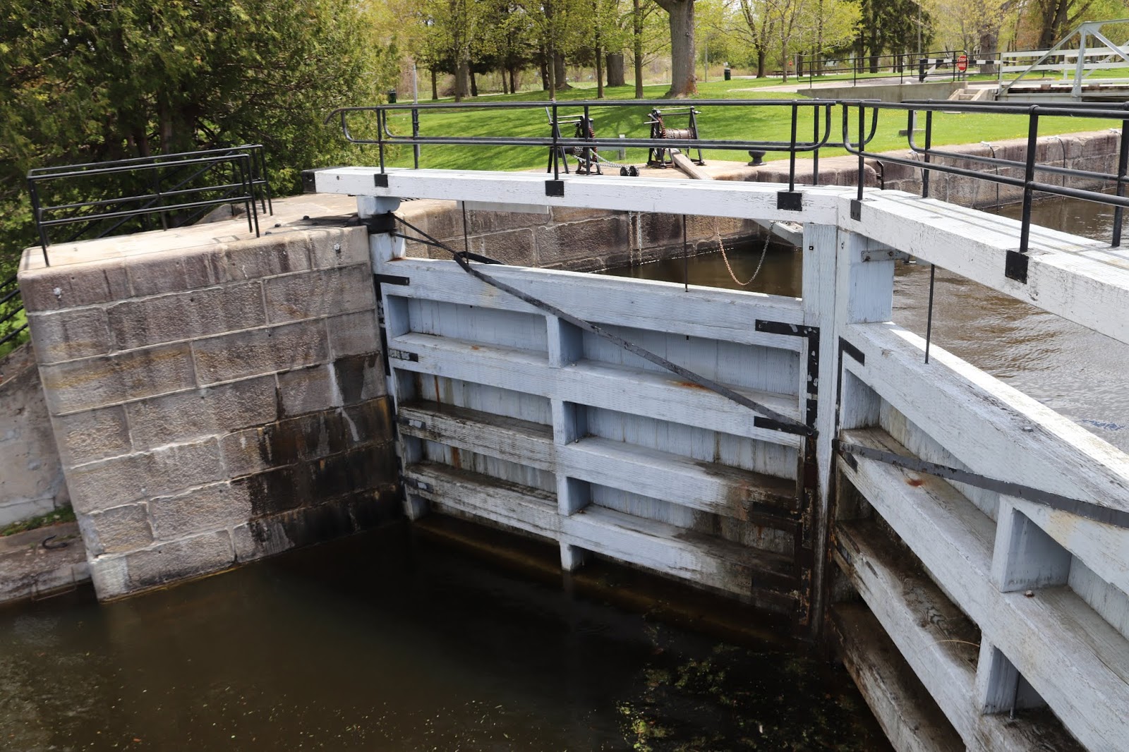
| These are the upper gates of lock 16. |
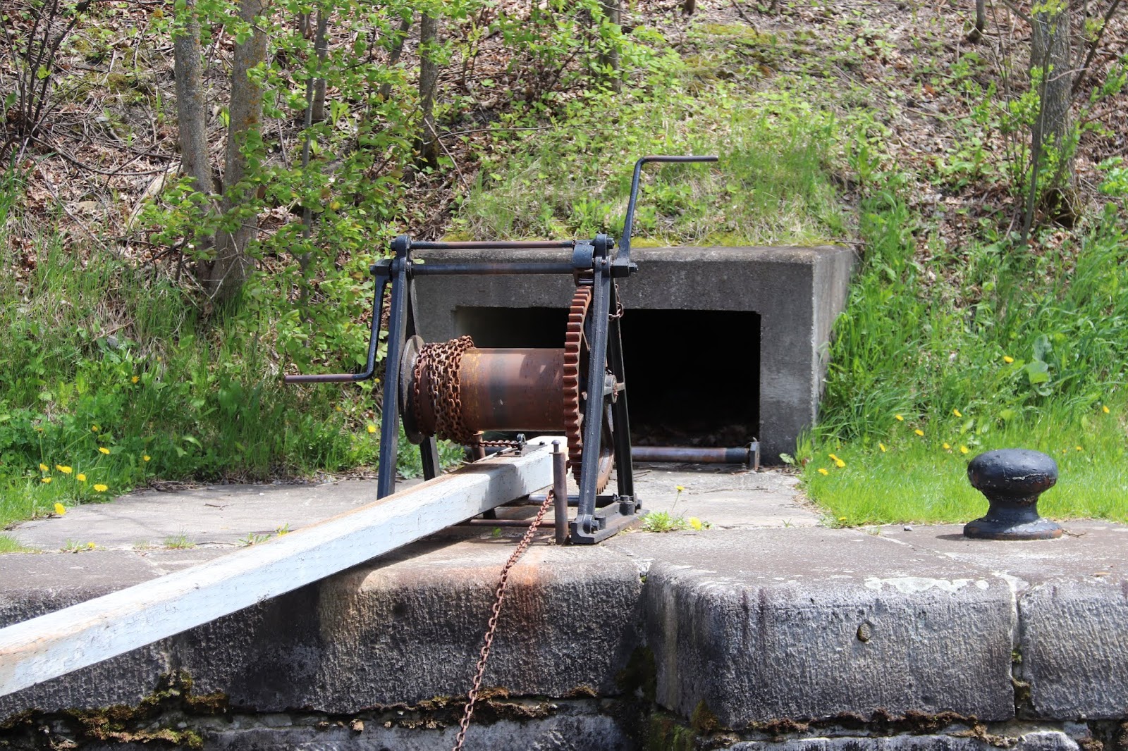
The mechanism on the left is a gate crab used to open and shut the lock gates. The one on the right is an upper sluice crab used to open and shut the tunnel sluice that controls the flow of water into the lock.
 |
These are the lower gates of lock 16
and the upper gates of lock 15. |
 |
This is the lower lock gate for lock 15
and the upper lock gate for lock 14. |
These are lower gate sluice crabs, used to open and close the lower gate sluice valves. The gate valves remain under water so you won't likely see them while the canal is in operation during the spring and summer.
The upward spray on he lower right is from water coming through the tunnel sluice. The lock operators close the tunnel sluice before boats enter the lower lock to be lifted to the next level. Once inside the lock with the lower gates closed, operators slowly open the sluice tunnel allowing water to flow into the lock without disturbing the boats. As the water rises they open the sluice tunnel fully.
Boats in the lock secure to the long cables inside, shown here. They allow boats to remain tied in place as they go up or down within the lock.
Like most of the lockstations in the Rideau Canal system Long Island has mooring facilities above and below the locks. Boaters can tie up their vessels while they wait their turn through the locks, while they wait overnight should they not arrive during operating hours, or to spend time enjoying the lock's facilities while they stretch their legs, or have a picnic.
Two pairs of Canada Geese have made their home at the Long Island Lockstation. This one stood watch while it's mate rested further down the pier. The other pair, shown above, live just upstream of the locks.