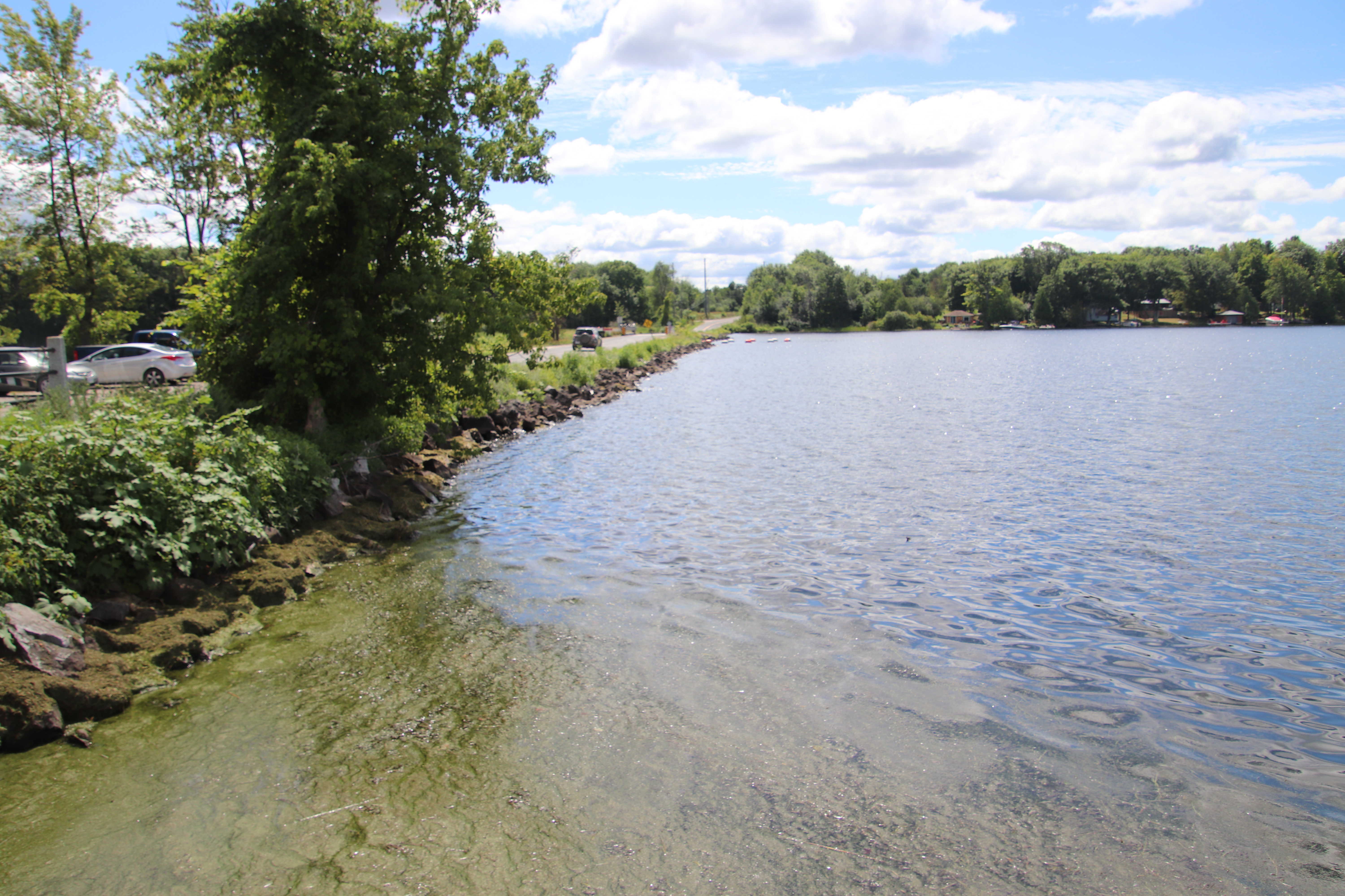
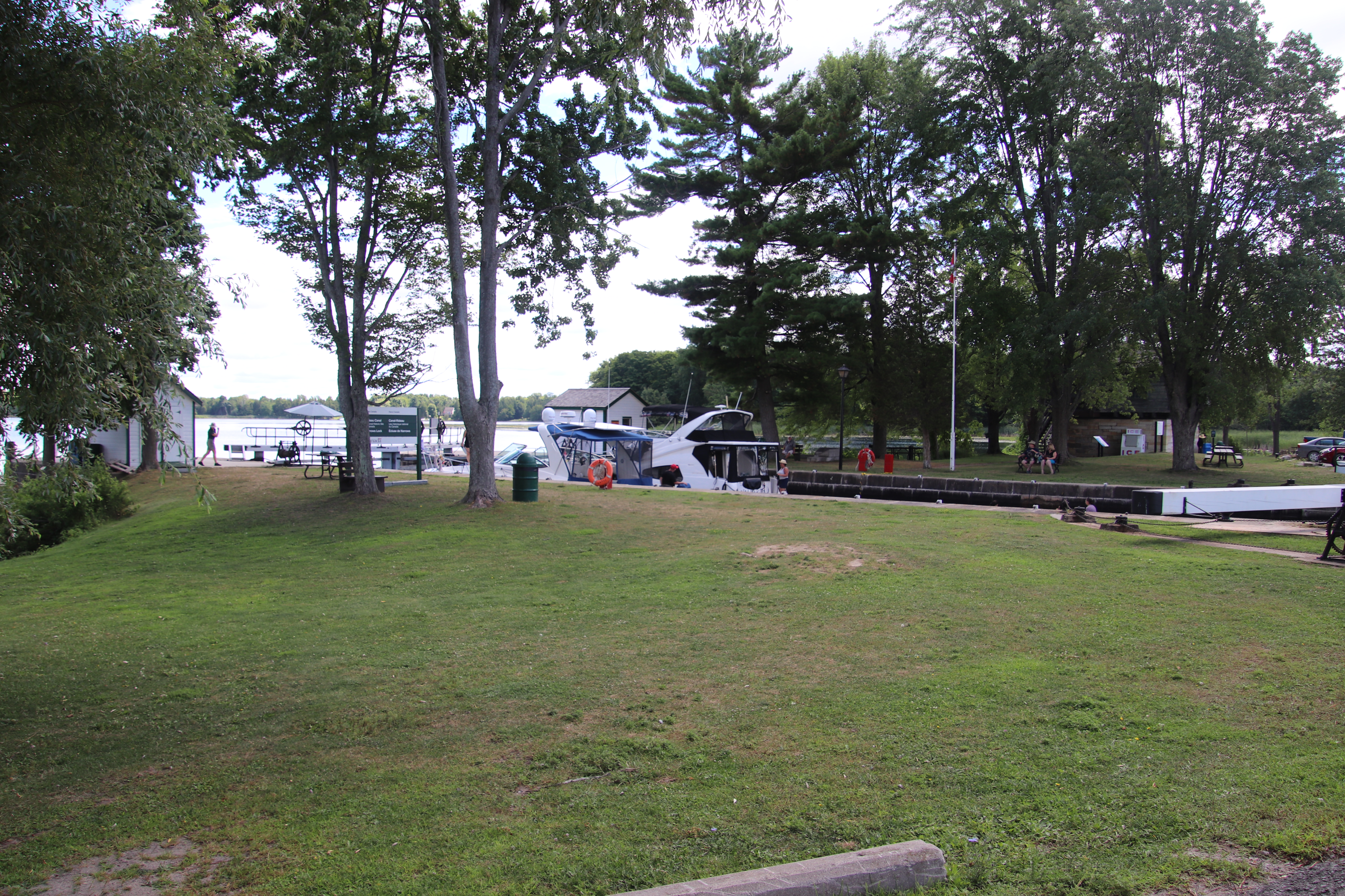
Narrows Lock Road, also known as Lanark County Road 14, runs from Scotch Line, County Road 10 in the north to County Road 42 near the junction of Highway 15 and County Road 42 at Crosby, Ontario. About six kilometres north of that junction Narrows Lockstation occupies a causeway that divides Great Rideau Lake to the east from Upper Rideau Lake to the west. A small waste water weir occupies the causeway to the south of Narrows Lockstation.
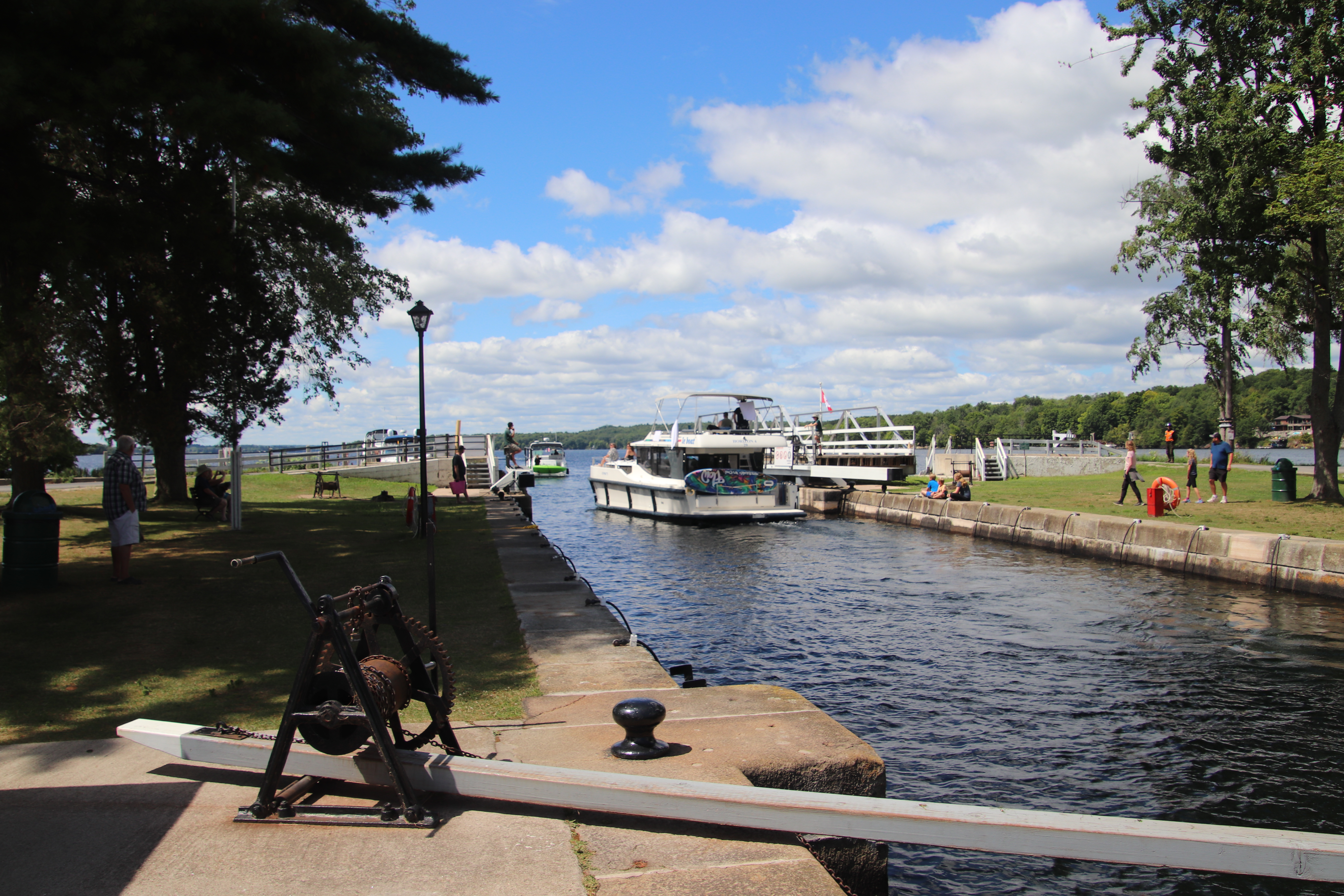
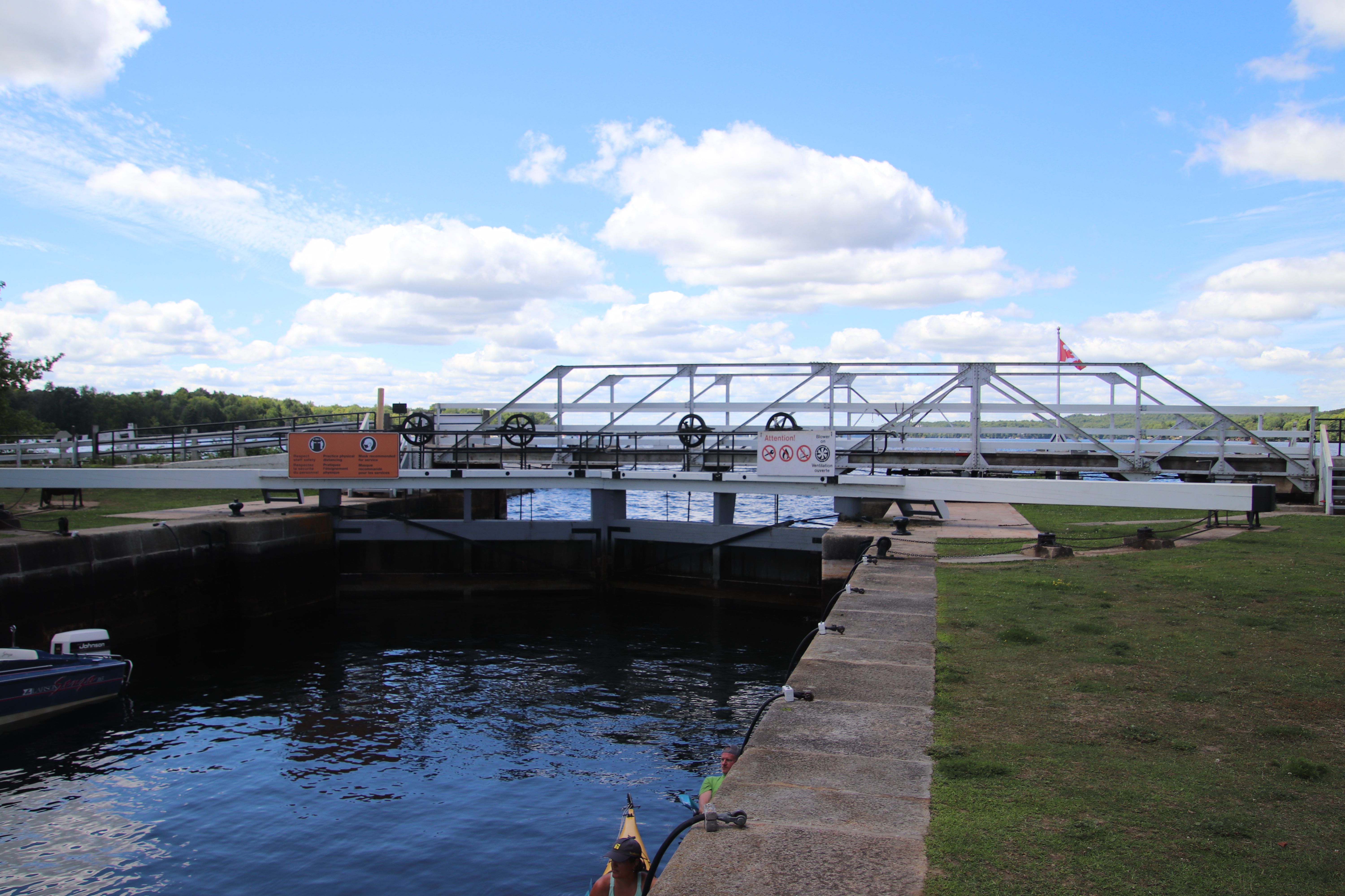
The Narrows Lockstation crew operated lock 35 continually when I went to photograph it. I have edited the order of the pictures I took there to make as much geographic sense as possible of the site. As a result the time continuity suffers. For such a small lockstation, the operators kept very busy.
Parks Canada
Rideau Canal
National Historic Site of Canada
Narrows Lock
Parcs Canada
Canal-Rideau
Lieu historique national du Canada
Écluse de Narrows
NARROWS
Before the arrival of the Royal Engineers, Rideau Lake stretched unbroken for 35 km (22 miles) between Newboro and the entrance to the Rideau River, 29 km (18 miles) to the north. There was, and is, no reason for this lock with its 1 metre (3 feet) lift, except two factors - money and human life. The new causeway raised the lake's water level, saving excavation of hard rock, and therefore money, in the long artificial channel leading to the lock at Newboro. Furthermore, by speeding up the work there, many were saved from disease and death from the malarial fever which raged before the water level rose over the swamps behind the new dams.
The importance of this single lock is demonstrated by the blockhouse (one of four along the route) whose loopholes cover the lake and surrounding hills as protection against those in time of turmoil might seek to immobilize traffic by destroying the works.
Between 1826 and 1832, an old Indian canoe route along the Rideau and Cataraqui Rivers was transformed at the command of the British government from untamed wilderness rivers into the Rideau Canal. The purpose of this remarkable artery was to provide the British army with a safe route for supplying its inland garrisons, avoiding the direct but exposed route along the St. Lawrence, which only the disorganization of the American forces had prevented from being cut during the War of 1812.
The 202 km (126 miles) of waterway was made navigable by 47 locks grouped in 24 stations with their associated dams and weirs. The word was designed and superintended by the Royal Engineers, commanded by Lieutenant Colonel John By; the actual construction was done by local contractors.
Despite the blockhouses along the waterway, the role of the Rideau has always been peaceful. It was a busy waterway, carrying settlers and supplies into the growing settlement of the interior until the middle of the 19th century, when larger locks were opened on the St. Lawrence. At the same time, since the possibility of war between Britain and the United States was now unlikely, the British Board of Ordnance signed the system over to the colonial government of Canada in 1856. The period of the Canal's military administration was over.
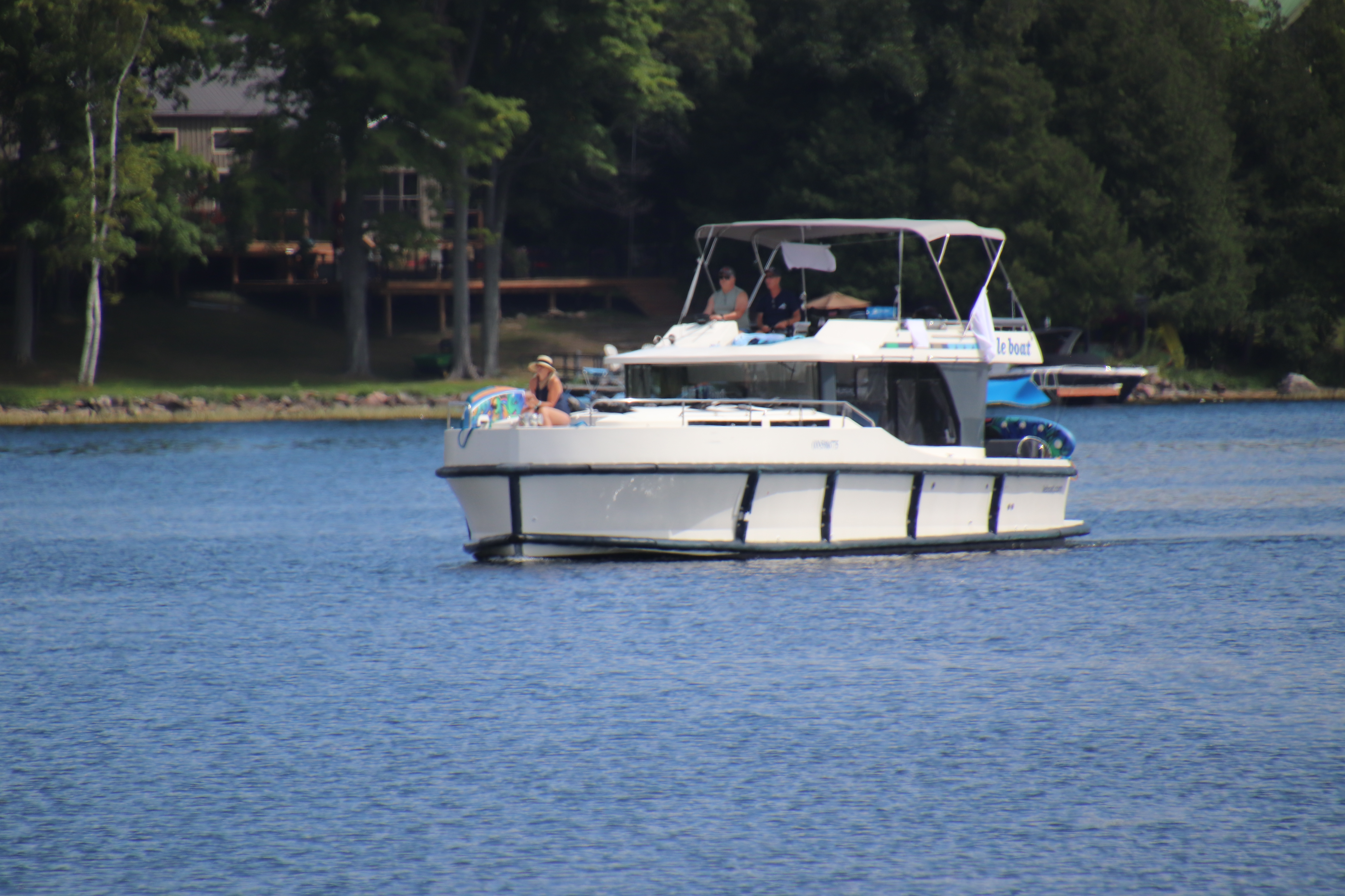
Local commercial traffic remained important until the advent of the automobile and better roads about the time of World War 1. Since that time recreational boating has grown steadily so that now the system, well into its second century, is busier than ever.
NARROWSAvant l'arrivée des Royal Engineers, le lac Rideau s'étendait sur une distance de 35 km (22 milles) entre Newboro et l'embouchure de la rivière Rideau, 29 km (18 milles) au nord. C'est pour épargner des vies humaines et de l'argent qu cette écluse fut construite avec une chute d'un mètre (3 pieds). Rien d'autre n'en justifiait la construction à l'époque, et pas davantage aujourd'hui. La nouvelle écluse a élevé le niveau du lac, évitant ainsi de difficiles travaux d'excatation dans le long chenal artificiel conduisant à l'écluse à Newboro. De plus, en accélérant l'ex0233cution des travaux, de nombreux ouviers échappèrent à la malaria qui faisait rage avant que l'eau ne recouvre les marécages, derrière les nouveaux barrages.
Le blockhaus, l'un des quatre du canal, illustre bien l'importance de cette écluse. Ses meurtrières donnaient sur le lac et les collines avoisinantes, ce qui assurait une protection contre ceux qui, en périod d'agitation, auraient pu tenter d'arrêter la navigation sur le canal en détruisant les écluses.
Entre 1826 et 1832, une ancienne voie d'eau utilisée par les Indiens le long des rivières Rideau et Cataraqui fut transformée à la demande du gouvernement britannique en un réseau de voies navagables : le canal Rideau. Le but de cet ouvrage remarquable était de fournir à l'armée britannique une route sûre pour approvisionner ses garnisons. On évitait ainsi le Saint-Laurent, voie plus directe mais oussi plus dangereuse qui n'était demeurée ouverte qu'en raison de la désorganisation de l'armée américaine au cours de la guerre de 1812.
Le réseau de 202 km (126 milles) a été rendu navigable par la construction de 47 écluses regroupées en 24 postes. Les travaux ont été planifiés et surveillés par les Royal Engineers. Sous le commandement du lieutenant-colonel John By. Ils ont été exécutés par des entrepreneurs locaux.
Malgré les blockhaus qui se trouvent le long du réseau, le Rideau n'a jamais été troublé par la guerre. Ce fut un cours d'eau achalandé transportant colons et approvisionnement à l'intérieur des terres jusq'au milieu de XIXe siècle lorsque les grandes écluses du Saint-Laurent furent ouvertes à la navigation. Au même moment, la menace de guerre entre la Grande-Bretagne et les États-Unis s'étant estompée, le British Board of Ordnance céda le réseau au gouvernement colonial du Canada en 1856. Ceal mit fin à l'administration militaire du canal.
Le trafic commercial local demeura important jusqu'à l'apparition de l'automobile et la construction de meilleurs routes à l'époque de la Première Guerre mondiale. Depuis, les plaisanciers se sont faits de plus en plus nombreux, tant et si bien qu le réseau, qui en est à son deuxième siècle d'existence, et maintenant plus fréquenté que jamais.