


 |
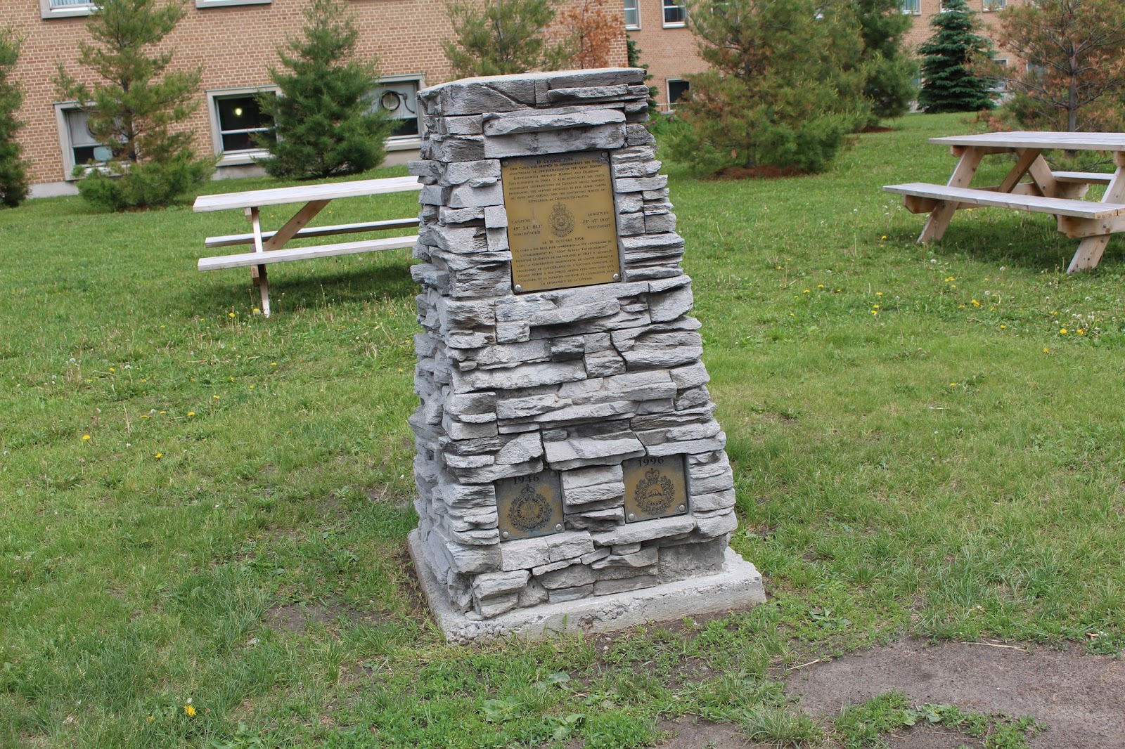
| 18 October 1996 This cairn was erected to commemorate the 50th anniversary of the formation of the Army Survey Establishment (renamed Mapping and Charting Establishment in 1996). It also recognizes the unit's significant contributions to Canada's arctic mapping programme, the support provided to our armed forces at home and abroad, and the continuing puruis of excellence in Defence Geomatics. Latitude 45º 24' 01.1" north/nord Longitude 75º 42' 19.0" west/ouest Le 18 octobre 1996 Ce cairn a été érigé commémorer le 50e anniversaire de l'éstablissement du "Army Survey Establishment" (rebaptisé Le Service de carographie en 1966). Il reconnaît aussi la contribution significative de l'unité envers le programme de cartographie de l'Arctique canadien, le soutien fourni à nos forces armées chez nous ainsi qu'à l'étranger, et la poursuite continue de l'excellence dans la géomatique de la défense. |

